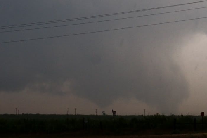
Lets start with tornado #3, considering its the only decent picture of a tornado I got all day.

Tornado #1 in progress with #2 forming to the left, starting as a cone.

Tornadoes #1 and #2 on the ground simultaniously.

Tornado #2 at mature stage.

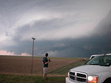
Outflow dominant storm near Douro Texas on I-20.

We were well northeast of the first 2 tornadoes but had a very nice intercept on #3. Looking forward to going over the data. It was also a very scary day for Midland Texas, with several tornado warnings in the area and massive flooding.


1 comment:
im from odessa- glad you guys could be here to catch all those storms on friday very amazing the weathers been getting worse every year
Post a Comment