Calling Out West got a new guitarist, so they called me for some new promo shots. Here's a few of my faves from the day. Also, give them a listen Here. These dudes rock!
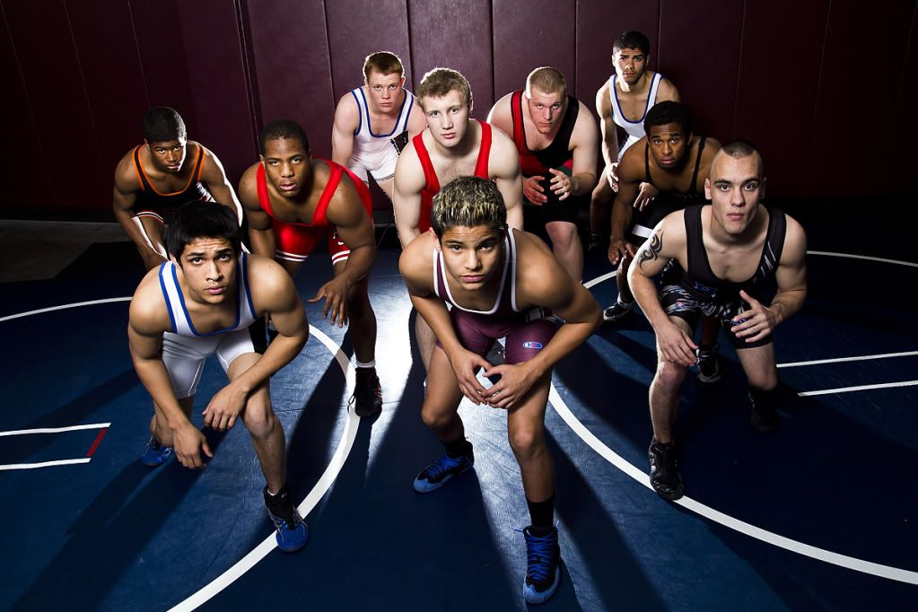
Here is a group portrait of the Cherokee Trail High School Wrestling Team. Really had a blast with the new strobes on this one! Look for severe weather photography updates as early as next week!
I just got back from a wonderful trip to Boston with my Dad. I made a few frames along the way. Here's one from the Stoney Brook subway station in SW Boston.
Well hey there stranger! it's been awhile. Anyway, I had a great shoot last week with Calling Out West, a Denver rock band who are preparing to release their EP entitled "Apollo". They have a a show on October 7th. More info here https://www.facebook.com/event.php?eid=247667018609232.
This was my first shoot with the new lights and triggers, so I'm really happy with the results. I may add a third light here soon. I'm really starting to get into the strobist stuff. I'll try and update this more often.