
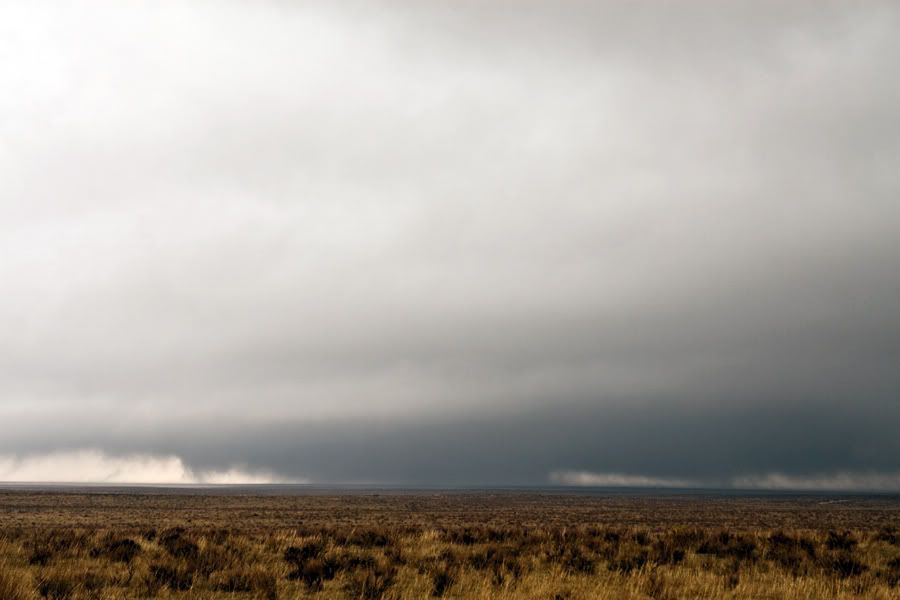
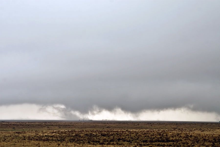
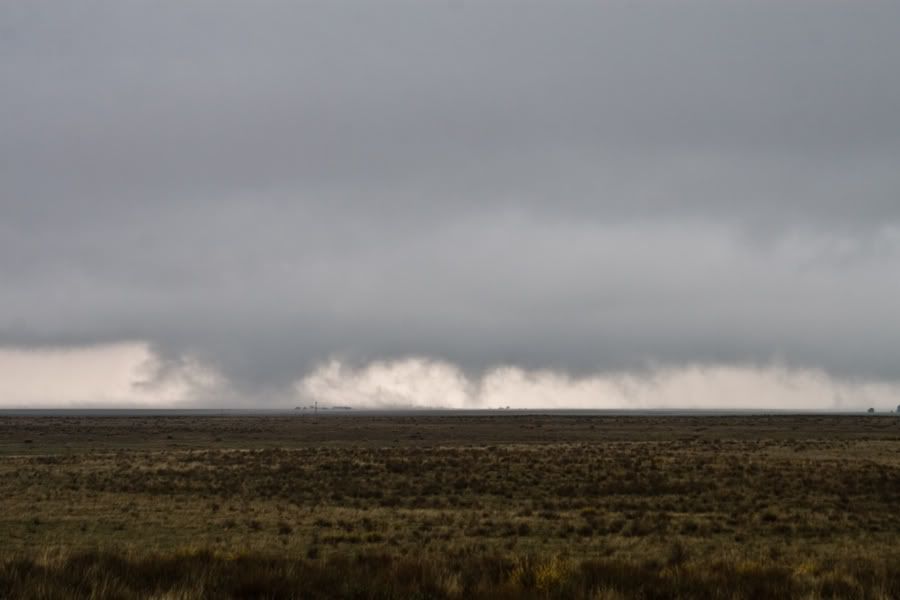
We will have to do some video analysis to see how many different tornadoes we actually recorded. LCLs were very low and it was almost impossible to pick out separate mesocyclonic features. These tornadoes were occurring in an environment characterized by a 54/54 temp/dewpoint with incredible shear. We observed several multivortex tornadoes with assorted cones, trunks, and ropes, followed by a wedge. The storm seemed to die after the wedge so we headed into Southwest Kansas and caught a large tornado from a distance looking North from just West of Garden City Kansas.
