Friday, May 15, 2009

Lightning and Disdrometers

We had a crappy chase on the 13th, missed tornadoes to our North and East, but managed to get some sick lightning. This storm was fierce! The lightning was purple and positive the whole time. No staccato here, just positive super plasma bolts lol!


In other news, we have attached the mesonet to the Durango, finally! We are also going to be attaching a torpedo sized Disdrometer, which allows us to measure drop size, distribution, and velocity of falling hydrometeors(rain or hail) while we are in motion. we are supposed to travel 38 mph taking readings with the Disdrometer. This thing is supposed to be mounted on aircraft so its pretty cool looking. To the best of my knowledge, we will be the only team in V2 with a Disdrometer capable of collecting data while we are in motion. So, its really awesome to have a unique research tool! Today appears to be the last good severe weather opportunity for several days. We will continue updating the vehicle and hopefully come back to Denver for a few days! Ill post some vehicle shots as soon as everything is completed.

Sunday, May 10, 2009

5/8/09 Texas Chase Report

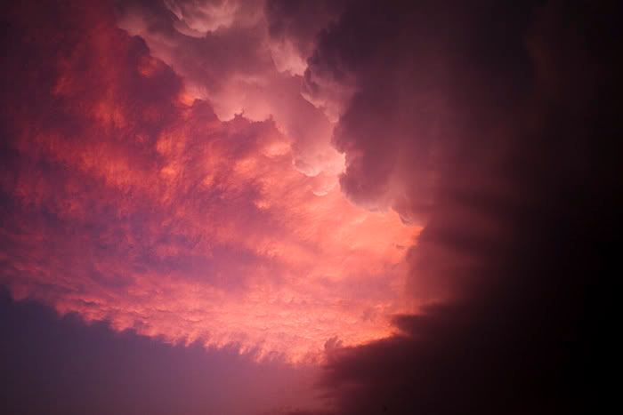
100th blog post Woooo! Anyway, we intercepted this supercell just south of Saint Jo, Tx after a nice bbq dinner at the Rib Joint in Ardmore, Ok. We didn't have much hope for the day, but huge instability and marginal shear gave us some great structure and a possible tornado. Fires burning in Mexico made for a very hazy chase and wonderful sunset colors!


The above image was taken from Saint Jo, looking north at 9:53 p.m. Im not going to call this a tornado but it sure is damn tempting. I did have water on the lens so Im not discounting the fact that it could be an artifact or reflection. Anyway, a solid shear couplet was present at this time so... Opinions on this would be appreciated! Obviously, this image was globally edited heavily.

Wednesday, May 6, 2009

5/5/09 Texas Chase Report

We started the day in Norman and traveled to Abilene, Tx. Towers began to go up along the warm front to our Northeast and we blasted to Breckenridge, Tx. The first storm moved north of the WF and died but the second one rode it, started to hook out and move Southeast. It chased us, along with 300 other chasers down to I-20 and began to weaken as it moved off of the WF and a 700mb warm air intrusion ate it. We observed many wall clouds but no tornadoes obviously. Northwesterly 500mb flow prevented this storm from sustaining a strong mesocyclone. The core prevented adequate inflow from reaching the meso that was located on the Northwest side of the storm. I still hate NW flow events! Beautiful storm though...


Monday, May 4, 2009

A Dying Storm and Thoughts on Tommorow

We chased May 1st in North Texas and saw the storms near the Seymour area. Nothing too photogenic untill the storm began to die. Im really digging the files the 30D produces, as long as I dont underexpose lol!


Regarding tommorow's chase potential: Im on the fence with this one but we are so close to the target area, Im not sure I could turn it down. The cap looks to be quite strong, but this could be a good thing if we can get one isolated storm. Low level shear looks pretty good, despite the upper level winds causing venting over the inflow. LCLs could be crappy with 25-30 degree spreads but will improve as storms move away from the heat axis. Im sure if we get a storm, it will be impressive, just not sure about tornadoes as of yet. If the NAM holds true, Im looking at a target on I-20 between Sweetwater and Abilene.

Friday, May 1, 2009

Chasing North Texas Tommorow!

Bedding down in Norman, Oklahoma for the night. Targeting near the triple point in North Texas, likely near Seymour or Throckmorton. H5 winds look marginal but the WRF throws a 45kt impulse right over the triple point at 0z, we will see lol. Anyway, the 4km WRF shows one booming supercell with a hook in our target area. It will be nice to wake up so close to the target!